Agricultural Services
Documentation App
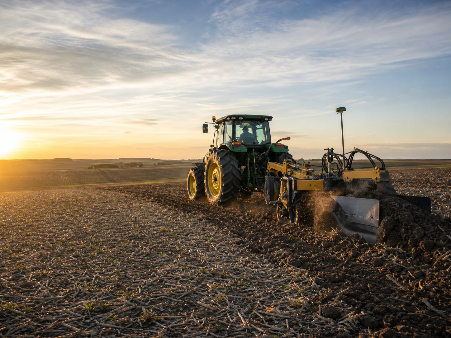
Document tile runs, custom work, and field conditions: geotagged proof of work that's about to disappear under a hundred acres of soil.
Trusted by 1,200+ field contractors across the trades.
Without Documentation, You're Exposed
Ag service providers bury their work and serve clients who never see it happen. Here's what's at stake.
Buried Tile You Can't Find or Prove
Drainage tile, irrigation mains, and waterlines disappear under a field the day you install them. When a line fails, a landowner disputes the layout, or someone needs to locate a main five years later, no photos means exploratory digging on your dime.
Custom Work Disputes
Custom application, tillage, and harvest work happens on fields the landowner may never walk. When they question whether the acres were covered, the rate was applied, or the work was done at all, your invoice needs more than your word behind it.
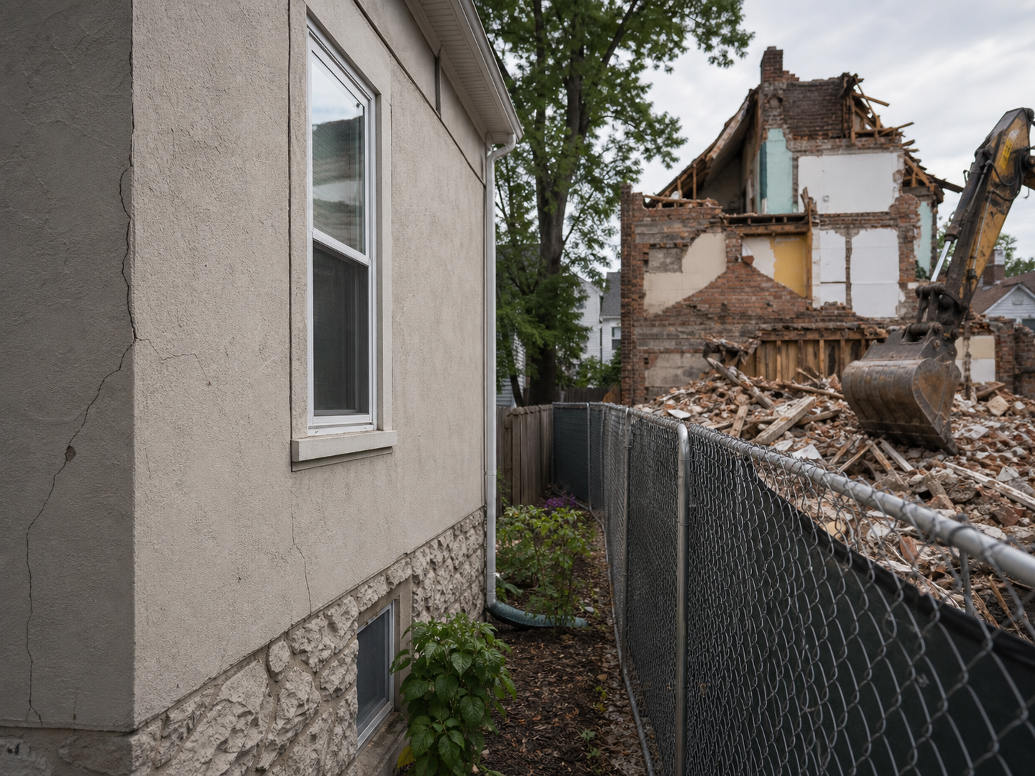
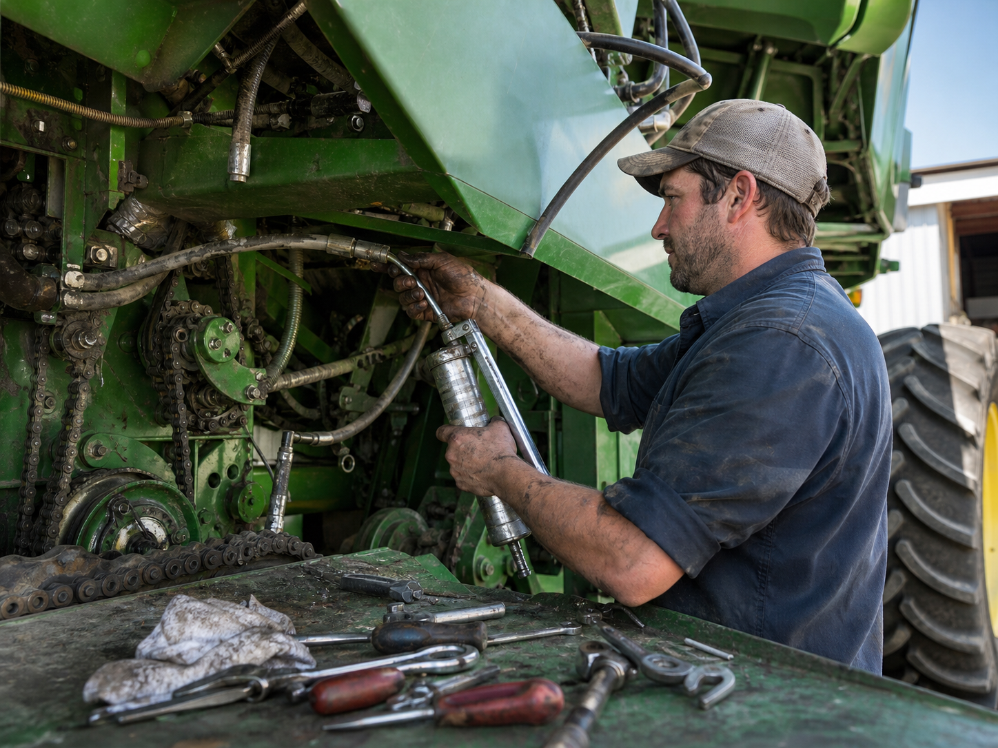
Equipment Damage Blame
You hit something in the field — or get blamed for the gate, culvert, or waterway damage that was already there. Without photos of field conditions before your equipment entered, the repair bill follows the most recent set of tracks: yours.
How It Works
Three simple steps to organized, professional documentation.
Document Before You Work
Capture field conditions, existing damage, and access routes before equipment rolls in. Every photo automatically timestamped and geotagged to the field.
Record the Work
Photos organized by field or client and categorized by job: tile installation, application passes, repairs, completed work. GPS ties each photo to its spot in the field.
Report & Share
Generate professional PDF reports in minutes. Send completion proof to landowners and farm managers before you're off the field.
Built for Agricultural Services
Every feature designed to save you time and protect your business.
Geotagged Field Photos
Every photo captures date, time, and GPS automatically — on a 160-acre field, the location stamp is what turns a photo into a record of where that tile run actually is.
Field & Job Categories
Organize photos by client, farm, and field, categorized by job type: drainage, irrigation, application, tillage, equipment service. Every season builds the record.
Landowner-Ready Reports
Generate PDF reports for landowners, farm managers, and absentee owners. Completion proof, installation records, and damage documentation in minutes.
Automatic Cloud Backup
Every photo backed up automatically. Tile maps in someone's head retire when they do — photo records with GPS coordinates don't.
Share with Landowners & Managers
Send reports and photos to landowners, farm managers, and co-ops via email or text link, straight from the cab.
Built for Rural Dead Zones
Fully offline capable — most fields have no coverage. Capture all day, sync when you're back in town. Nothing gets lost.
Real-World Use Cases
See how agricultural services use Fieldpost on every job.

Drainage Tile & Irrigation Records
Photograph every tile run while the trench is open: depth, grade, mains and laterals, connections, outlets. Geotagged photos become a permanent visual map of what's under the field — invaluable when a line needs repair in ten years, when the farm sells and the new owner asks what drainage exists, or when a dispute arises over whether the system was installed as quoted.
Custom Work Completion Proof
Document custom application, tillage, seeding, and harvest work as it's completed: the field condition, the pass pattern, the finished result. For absentee landowners and farm managers overseeing operations from a distance, dated and geotagged completion photos answer "did the work get done right" before the question gets asked — and your invoices stop getting challenged.
Equipment & Field Condition Records
Before equipment enters a property, photograph gates, culverts, waterways, and field entrances. Document your own equipment condition before and after custom work and rentals. When damage gets discovered at season's end, dated photos establish what was already there — protecting the relationship with the landowner along with your wallet.
The field swallows your evidence at backfill.
30 days free. Photograph your next tile run while the trench is still open.
Start Free TrialFree for 30 days. No credit card required.
Frequently Asked Questions
Questions agricultural services ask before getting started.
Does it work in fields with no cell coverage?
Yes — that's the normal case for ag work. Fieldpost works fully offline: capture photos and notes all day across multiple fields, and everything syncs automatically when you're back in coverage.
Can the GPS data actually help locate buried tile later?
Yes. Every photo is geotagged, so a photo of a tile main taken in the open trench carries the coordinates of that spot. It's not survey-grade, but it puts you within feet of the line — the difference between one exploratory hole and an afternoon of digging.
How do absentee landowners receive the documentation?
Email or text link, sent straight from the field. Generate a PDF report of the completed work in under 2 minutes — most landowners have proof of completion before the equipment is loaded.
Can I organize work across many farms and fields?
Yes. Set up projects per client, farm, or field — whatever matches how you bill. Photos organize by job type within each, and the whole operation's history is searchable by season's end.
How is this different from the camera roll on my phone?
Camera roll photos aren't organized by farm or field, vanish when phones break, and can't prove which field — let alone which spot in the field — a photo came from. Fieldpost organizes and geotags everything automatically and turns it into a landowner-ready report in minutes.
Can I add operators to one account?
Yes. Plans start at 3 users for $25/month, with additional users at $10/month. Every operator documents to the same fields in real time. No annual contracts.
Common Agricultural Services Workflows
See how agricultural services document specific scenarios.
Waterproofing & Underground Documentation
Tile and irrigation mains, mapped in photos before backfill.
Learn morePre-Existing Damage Documentation
Gates, culverts, and waterways documented before equipment rolls in.
Learn moreEquipment & Fleet Documentation
Condition records for every machine, every season.
Learn moreMaintenance & Service Records
Service records for equipment and recurring field work.
Learn moreCustomer Progress Updates
Professional progress reports that keep clients off your phone.
Learn moreRemote Project Oversight
See every jobsite without driving to it.
Learn moreOther Trades We Serve
Fieldpost is built for teams across the trades.
Excavation & Sitework Contractors
Utility locates, grade verification, and buried-work documentation before backfill.
View industry pageHeavy Equipment Rental & Service
Delivery and pickup condition reports that end rental damage disputes.
View industry pageUtility & Infrastructure Contractors
Trench depth, bedding, and as-built photo records that survive backfill.
View industry pageLandscaping Companies
Irrigation and drainage documentation before backfill, plus before-and-after photos that sell.
View industry pageIndustrial Maintenance & Service
Equipment condition records, shutdown documentation, and audit-ready maintenance history.
View industry pageStart Documenting Your Field Work Today
Join agricultural service providers that protect their work and invoices with geotagged photo documentation.
Free for 30 days. No credit card required.